3.2-The Himalayan Rivers
3.2-The Himalayan Rivers Important Formulae
You are currently studying
Grade 9 → Geography → Drainage → 3.2-The Himalayan Rivers
3.2 The Himalayan Rivers
- Himalayan rivers are permanent rivers with a perennial flow.
- They originate from the glaciers and snow-capped peaks of the Himalayas.
- These rivers are fed by snowmelt and rainfall.
- Main rivers: Indus, Ganga, Brahmaputra.
- Indus River: Originates from Tibet, flows through Pakistan.
- Ganga River: Originates from the Gangotri Glacier, flows into the Bay of Bengal.
- Brahmaputra River: Originates from Tibet, flows through India and Bangladesh.
- These rivers have large basins and provide water for irrigation and transport.
The Himalayan Rivers are among the most significant rivers in India, originating from the majestic Himalayan mountain range. These rivers play a crucial role in shaping the geography, culture, and economy of the regions they flow through.
Geographical Origin
The Himalayan rivers originate from the glaciers and snowfields of the Himalayas, which are the highest mountain ranges in the world:
- Source: The glaciers, such as the Gangotri Glacier for the Ganges and the Yamunotri Glacier for the Yamuna, serve as the primary sources of these rivers.
- Snowmelt: The rivers are fed by snowmelt during the summer months, resulting in increased water flow.
Main Himalayan Rivers
The major Himalayan rivers include:
- Ganges: Originating from the Gangotri Glacier, the Ganges is one of the most important rivers in India, flowing through Uttarakhand, Uttar Pradesh, Bihar, and West Bengal before emptying into the Bay of Bengal.
- Yamuna: The Yamuna flows parallel to the Ganges, originating from the Yamunotri Glacier and passing through states like Uttarakhand, Himachal Pradesh, and Delhi before merging with the Ganges at Allahabad.
- Indus: The Indus River, originating from Tibet, flows through Ladakh in India before entering Pakistan. It is one of the longest rivers in the world, playing a crucial role in the agriculture of its basin.
- Brahmaputra: Originating in Tibet and flowing through Arunachal Pradesh and Assam, the Brahmaputra is known for its massive volume and seasonal flooding.
Characteristics
The Himalayan rivers exhibit distinct characteristics:
- Snow-fed Rivers: They are primarily snow-fed, leading to significant variations in flow during different seasons, with higher volumes during summer due to melting snow.
- Young Rivers: These rivers are relatively young, characterized by a steep gradient, fast-flowing currents, and the ability to erode their banks, forming deep valleys.
- Alluvial Deposits: The rivers carry a significant amount of silt and sediment, contributing to fertile alluvial plains in the plains regions where they flow.
Significance
The Himalayan rivers hold immense significance for India:
- Water Resources: They provide essential water resources for drinking, irrigation, and industrial use, supporting millions of people in the region.
- Agricultural Support: The alluvial plains formed by these rivers are highly fertile, enabling the cultivation of various crops, including rice, wheat, and sugarcane.
- Cultural Importance: Rivers like the Ganges are considered sacred in Hinduism, with numerous religious sites and pilgrimage routes established along their banks.
Hydropower Potential
The Himalayan rivers have significant hydropower potential:
- Hydropower Projects: Many dams and hydropower projects are developed on these rivers, such as the Bhakra Nangal Dam on the Sutlej River, harnessing the rivers' flow for electricity generation.
- Renewable Energy: The development of hydropower contributes to renewable energy resources, reducing dependence on fossil fuels.
Challenges
Despite their importance, the Himalayan rivers face several challenges:
- Pollution: Industrial discharge, urban waste, and agricultural runoff lead to pollution, affecting the water quality and aquatic life.
- Climate Change: Melting glaciers due to climate change pose risks to the rivers' flow patterns, potentially leading to floods or water shortages.
- Encroachment: Urbanization and encroachment on riverbanks disrupt the natural flow and ecosystem, leading to degradation of habitats.
Conservation Efforts
Efforts are being made to conserve the Himalayan rivers:
- Government Initiatives: Various government programs aim to reduce pollution and promote sustainable water management practices.
- Community Involvement: Local communities are increasingly involved in conservation efforts, recognizing the importance of maintaining the health of these vital water bodies.
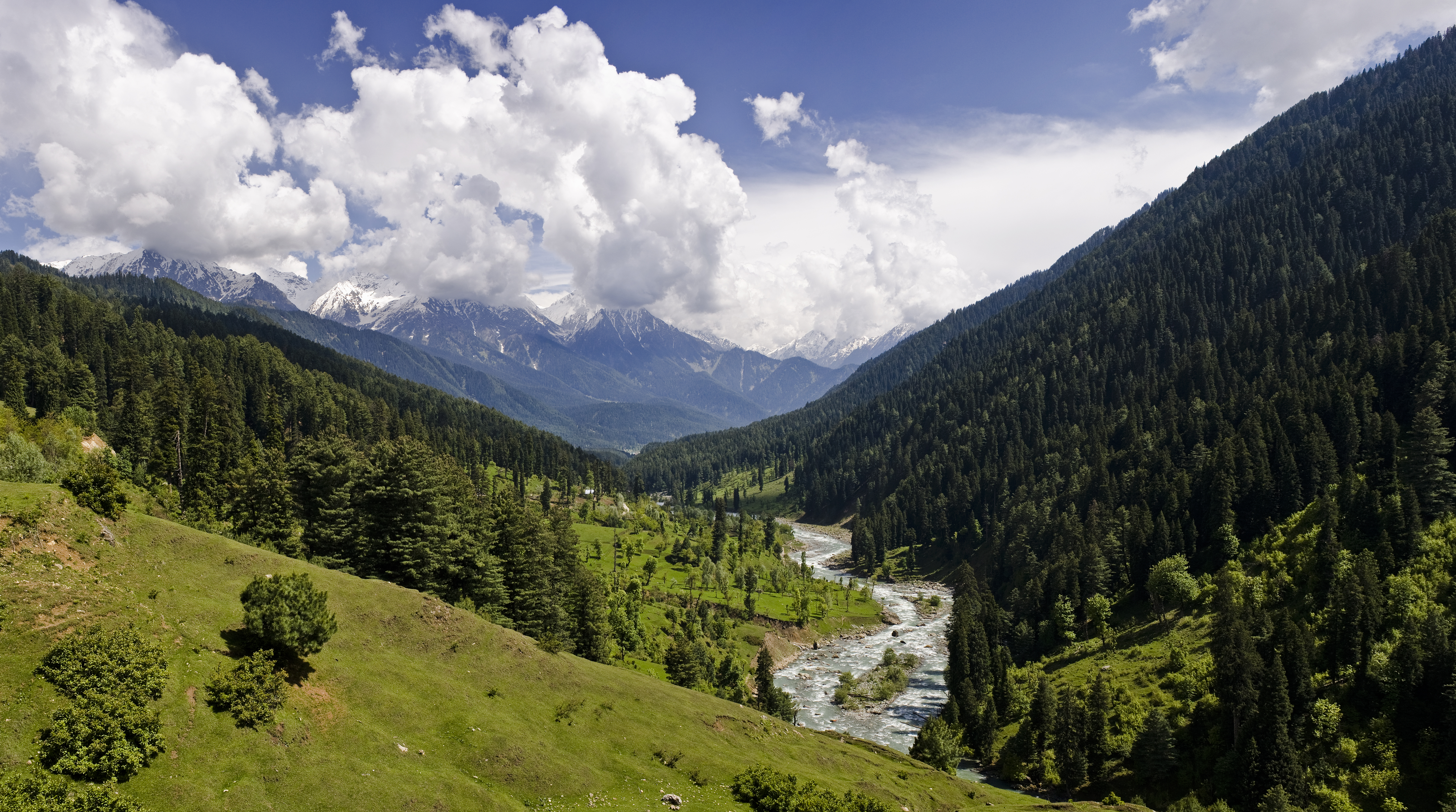
View of the Lidder valley near Pahalgam. This Himalayan valley is located in the northeastern part of the Kashmir Valley in Jammu and Kashmir, India.
KennyOMG, CC BY-SA 3.0, via Wikimedia Commons
3.2-हिमालयन नदियाँ
हिमालयन नदियाँ, भारतीय उपमहाद्वीप की प्रमुख नदियाँ हैं, जो हिमालय पर्वत श्रृंखला से निकलती हैं। ये नदियाँ अपने स्रोत से लेकर समुंदर तक अपनी यात्रा के दौरान बहुत ही महत्वपूर्ण जलवायवीय और भौतिक परिवर्तन लाती हैं। ये नदियाँ भारत की जलवायु, कृषि और परिवहन के लिए बहुत आवश्यक हैं। इन नदियों को तीन मुख्य भागों में बाँटा जा सकता है: उत्तरवाहिनी नदियाँ, दक्षिणवाहिनी नदियाँ और मध्यवर्ती नदियाँ।
1. उत्तरवाहिनी नदियाँ
उत्तरवाहिनी नदियाँ वो नदियाँ हैं जो हिमालय की उत्तर दिशा से बहती हैं और उत्तर भारत की मैदानों में प्रवेश करती हैं। इन नदियों में प्रमुख हैं:
- सिंधु नदी: यह नदी तिब्बत के तिब्बत पठार से निकलकर पाकिस्तान के माध्यम से भारत में प्रवेश करती है। यह नदी जम्मू-कश्मीर राज्य से होकर बहती है।
- गंगा नदी: गंगा नदी, भारत की सबसे महत्वपूर्ण और पवित्र नदी है, जो हिमालय के गंगोत्री ग्लेशियर से निकलती है।
- यमुनाजी: यमुनाजी, गंगा की सहायक नदी है, जो यमुनोत्री ग्लेशियर से निकलती है।
2. दक्षिणवाहिनी नदियाँ
दक्षिणवाहिनी नदियाँ वह नदियाँ हैं जो हिमालय की दक्षिण दिशा से बहती हैं। इन नदियों का प्रवाह दक्षिणी भारत की ओर होता है। ये नदियाँ सामान्यतः छोटी होती हैं। उदाहरण के लिए:
- ब्रह्मपुत्र नदी: यह नदी तिब्बत से निकलकर भारत के अरुणाचल प्रदेश में प्रवेश करती है और बाद में बांगलादेश के माध्यम से बंगाल की खाड़ी में समाहित होती है।
- सतलुज नदी: यह नदी तिब्बत से निकलती है और हिमाचल प्रदेश के माध्यम से भारत में प्रवेश करती है। यह सिंधु नदी की एक प्रमुख सहायक नदी है।
3. हिमालयन नदियों का जलग्रहण क्षेत्र
हिमालयन नदियों का जलग्रहण क्षेत्र बहुत ही विस्तृत और समृद्ध है, क्योंकि यह क्षेत्र हिमालय पर्वत की ऊँचाइयों से लेकर मैदानों तक फैला हुआ है। इन नदियों के जलग्रहण क्षेत्र में अत्यधिक वर्षा और हिमपात होता है, जिससे नदियाँ हमेशा जलपूर्ण रहती हैं। इन नदियों के जलग्रहण क्षेत्र का आकार इस प्रकार होता है:
व्यास (ड्रेनेज) का माप:
नदी के ड्रेनेज क्षेत्र के आकार का माप निम्नलिखित सूत्र से किया जा सकता है:
व्यास = $r^2$, जहाँ $r$ नदी के जलग्रहण क्षेत्र की मात्रा को दर्शाता है।
4. हिमालयन नदियों की विशेषताएँ
- नदी की जलधारा: हिमालयन नदियाँ जल की अधिकता और तेज़ बहाव के कारण अक्सर शीतकाल में बर्फ के रूप में जमा होती हैं।
- नदी का मोड़: हिमालय में नदियाँ अक्सर अपनी धारा को कई मोड़ों में बदलती हैं और घाटियों के रूप में बहती हैं।
- जलवृद्धि: हिमालयन नदियों में पानी की अधिकता और बर्फ के पिघलने से जलवृद्धि होती है, जिससे इन नदियों की धारा बहुत तेज़ होती है।
5. हिमालयन नदियों का सांस्कृतिक और आर्थिक महत्व
हिमालयन नदियाँ भारतीय सभ्यता और संस्कृति का अहम हिस्सा रही हैं। इन नदियों के आसपास बसे हुए शहरों और गाँवों की अर्थव्यवस्था मुख्यतः कृषि और जल संसाधनों पर आधारित है। गंगा और यमुनाजी जैसी नदियाँ न केवल पानी प्रदान करती हैं, बल्कि धार्मिक दृष्टि से भी अत्यधिक महत्वपूर्ण मानी जाती हैं।
अर्थव्यवस्था में इन नदियों की भूमिका बहुत महत्वपूर्ण है। ये नदियाँ सिंचाई, जल आपूर्ति, परिवहन, और बिजली उत्पादन के लिए उपयोगी होती हैं। हिमालयन नदियाँ भारत के लिए जीवन रेखा की तरह हैं।